
Peel 4466
- Canada. Department of Immigration and Colonization; Rand, McNally & Company. Canada: Descriptive atlas. Ottawa: Department of Immigration and Colonization, 1919.
- Physical description: [1], 80, [1] p., illus., col. maps.; 27.5 cm.
- Language: English
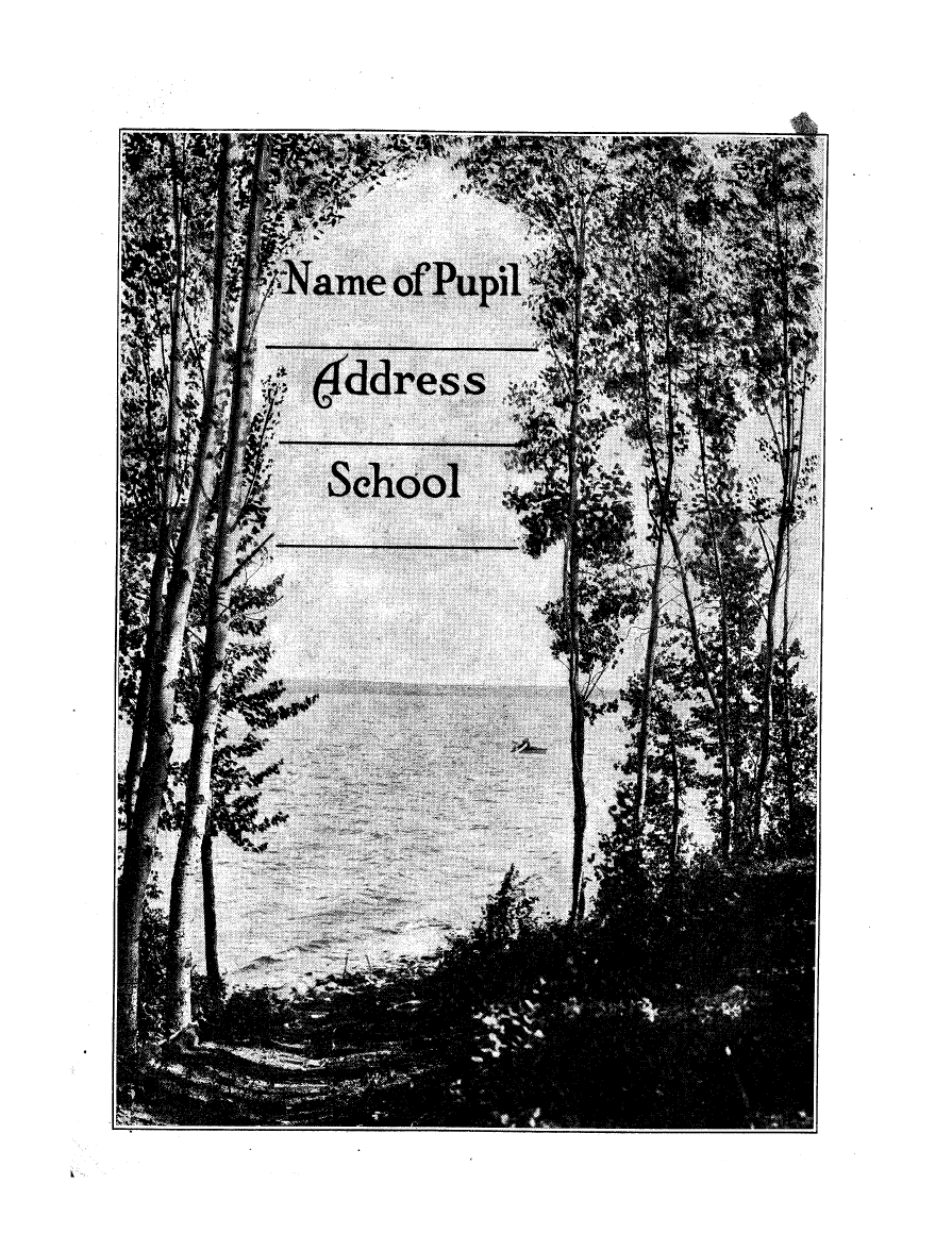
- Maps copyrighted by Rand, McNally & Co. Map of USA on inside back cover; space for "Name of pupil," "Address," and "School" on inside front cover. Pages 49-71 cover the Prairie Provinces. Also published, Ottawa: Department of Immigration and Colonization, 1920 (80p. map of world and British Isles on inside covers); Ottawa: Department of Immigration and Colonization, 1921 (80p.); British edition, Ottawa: Department of Immigration and Colonization, 1922 (80p.); Ottawa: Department of Immigration and Colonization, 1923 (80p.; map of world on inside of covers); Ottawa: Department of Immigration and Colonization, 1924 (80p.; map of world on inside of front cover); Ottawa: Department of Immigration and Colonization, 1925 (80p.; map of North America on inside of front cover); Ottawa: Department of Immigration and Colonization, 1927 (80p.); Ottawa: Department of Immigration and Colonization, 1930 (80p.; map of world and Canadian provincial and urban population data on inside covers); Ottawa: [Department of Immigration and Colonization, 1933], (80p.); Ottawa: Department of Immigration and Colonization, [1936] (80p.; map of world and Canadian population statistics on inside covers); Ottawa: Department of Citizenship and Immigration, 1951 ([105]p.). For French version see Peel 4809.
- Subject headings:
Jump to:
Pages:
[ ▶ List3D Wall]
- [Cover]
- 1
- 2
- 3
- 4
- 5
- 6:Map
- 8
- 9
- 10
- 11
- 12
- 13
- 14
- 15
- 16
- 17
- 18:Map
- 20
- 21
- 22
- 23
- 24
- 25
- 26:Map
- 27:Map
- 28
- 29
- 30:Map
- 31
- 32
- 33
- 34:Map
- 35:Map
- 36
- 37
- 38:Map
- 39
- 40
- 41
- 42:Map
- 43:Map
- 44
- 45
- 46
- 47
- 48
- 49
- 50:Map
- 51:Map
- 52
- 53
- 54
- 55
- 56
- 57
- 58:Map
- 59:Map
- 60
- 61
- 62
- 63
- 64
- 65
- 66:Map
- 67:Map
- 68
- 69
- 70
- 71
- 72
- 73
- 74:Map
- 75:Map
- 76
- 77
- 78
- 79
- 80
- 81:Map
- [Cover]